The Evolution of NavShip
Within the last years, NavShip has become a popular app among water sports enthusiasts. There was a lot of feedback and the community made the project successful. This article contains the highlights of the past few years.
2016
Simple design, few rivers. NavShip was still developing in 2016. Many more rivers were quickly added, and later coastal areas and lakes, which could also be navigated as the crow flies using a special algorithm.
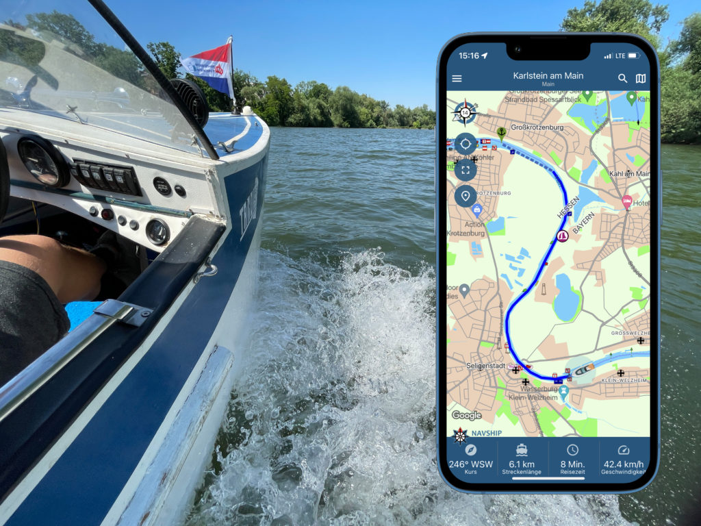
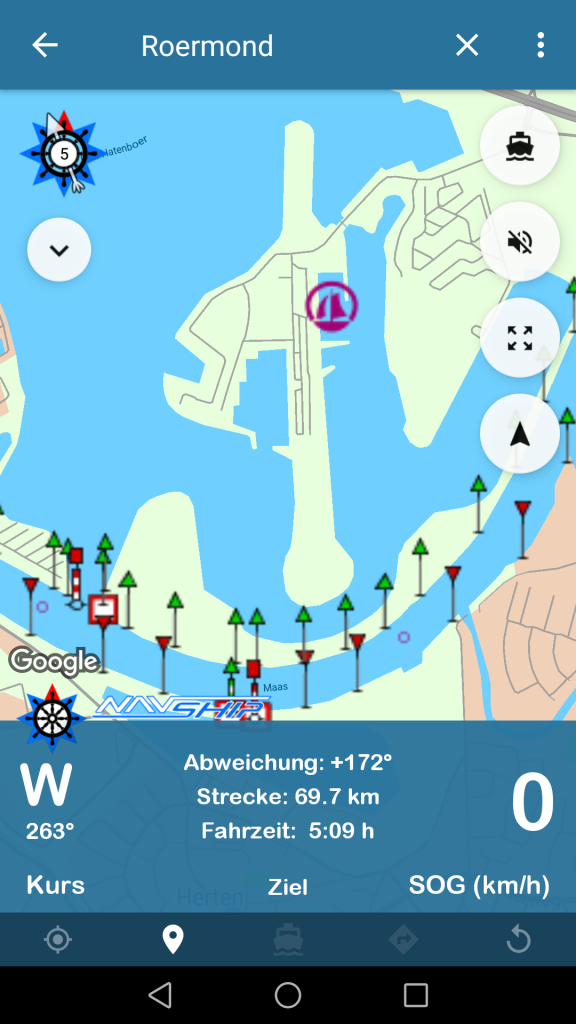
Germany in particular was the focus in the first few months. By the way, the first river was the Main, followed by the Rhine. This was primarily for personal reasons. This was followed by rivers suggested by the Boats Forum community. The contributions can be found here.
On July 19, 2016, version 1.0 was released in the Play Store for Android.
2017
A year later, numerous functions such as water levels, wind and weather data and gas stations near the water were added. The algorithms have been optimized to enable even better route calculation. At the end of 2017, an estimated 90% of waterways in Europe had been implemented.
After the app was free for almost a year during development, the first subscriptions were introduced in April 2017 to finance the project.
In June 2017, the iOS app was released in the Apple App Store. Under similarly fair conditions as the Android app, the iOS app was also offered free to everyone in the first year.
2018
Visually, little has changed in the Android and iOS versions compared to last year.
Many new channels were added and North America was covered – initially only sporadically.
In June 2018, NavShip installations of Android and iOS exceeded 100,000.
A depth line recording project was started, but it is still making difficult progress. An AIS integration was also planned, which – hopefully – can be completed in 2019.
In addition to the mobile apps, Boatrouting.com is launching a free web app that allows you to plan and view boat routes on your PC.
Beiboot.org, a small social network where people can meet for trips, is launching at the same time.
2019
Visually, a little has changed again. Layouts have been optimized for many devices, voice output has been added and the last teething problems have been eliminated. An estimated 95% of water bodies in Europe and North America are now covered. One or two missing locks or side channels are added every week.
The web app has also changed a lot visually, is still free and routes can be transferred from the PC to the smartphone apps after prior registration.
However, the community project for special points of interest (such as marinas, boat slips, etc.) will not be further developed for the time being, as the amount of data is still far from sufficient to offer users a good experience in the app. The dinghy project was also suspended because the number of users here was also insufficient.
2020
Most people will generally remember the year 2020 with a bitter aftertaste. Uncertainties as to whether a port is even open during the Corona crisis or whether you are even allowed to travel by boat in your area.
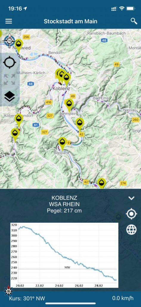
This year saw the biggest step in the company’s history: NavShip became part of the newly founded CproSoft GmbH and, for the first time, employees were hired to provide support and data capture. We have started to record the previously recorded areas even more precisely and have integrated many functions that were requested by users. Among other things, the graphical representation of water levels, the better integration of messages for inland shipping, more precise wind and weather data and the consideration of the flow of rivers in the route length.

2021
We have further refined the foundations already laid in 2020 and expanded support even further. Thanks to our marketing staff, we were able to be much more productive and publish more posts.
Graphically, we have updated the app and integrated a cleaner design. Especially with iOS, we have replaced many of our own components with the system components, so that well-known gestures can now be used, e.g. to open menus.
With account management, it was now possible to supply all of your devices with the purchased premium version – regardless of the platform. We installed Marrekrite berths, released the integration for smartwatches and broke the 500,000 user mark for the first time in May 2021.

2022
In 2022 we have improved the offshore routing so that lakes are now also taken into account as the crow flies and additional coastal areas and bays are recorded.
In the iOS version, the person overboard function can be found for the first time in order to further increase safety on the water. The first depth data is available selectively, but is still in beta mode.
The boat routing website has been redesigned so that NavShip Web now runs smoothly on Mac and PC. In addition, the first Mac app was loaded into the store so that NavShip can be used directly as an app on newer Macbooks.
There are now eight different types of boats to choose from, including various motorboats, rowing boats, canoes and sailing boats. The choice of boat is included in the route and, for example, a warning is issued if you enter a prohibited area with a motorboat.
2023
With the new boat routing web app and the new route system, routes can now be planned at lightning speed. The route is calculated on our server, so there is no longer any need to select driving areas.
The features we have integrated include the mileage display, slip ramp display and connection to the Apple Watch.
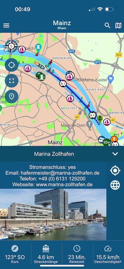
In addition to Lake Constance and Masuria, we have revised many areas. The depth data map is now available in North America and the BPR is now available in the Netherlands, which must be carried. The biggest feature we have integrated is cruising and water filling stations, and tide information is now also available.
In terms of design, we have now brought the app up to date and we now also display images for many markers.
Feedback still remains important. Every day countless emails reach the NavShip inbox with new feature ideas. Unfortunately, not everything can be implemented, but I remain committed to designing the app in such a way that everyone (or almost everyone) is happy.
Here’s to a few more beautiful years on and by the water.
Chris

0 Comments