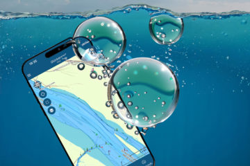
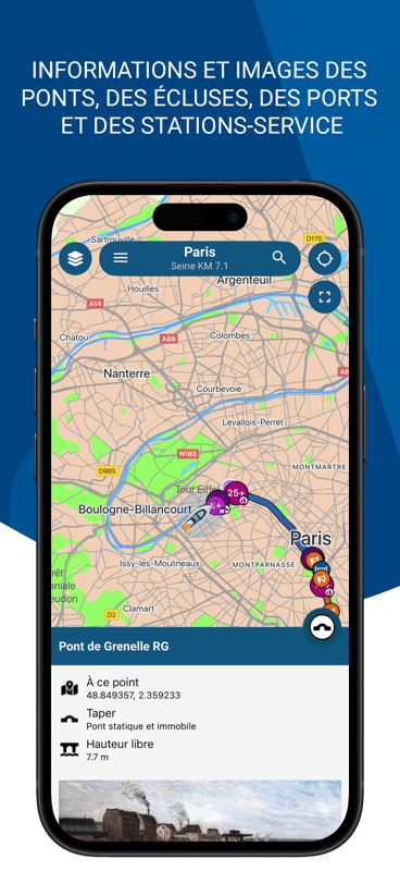
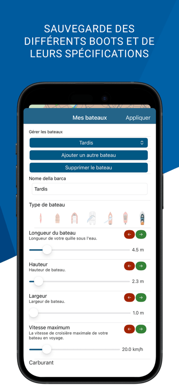
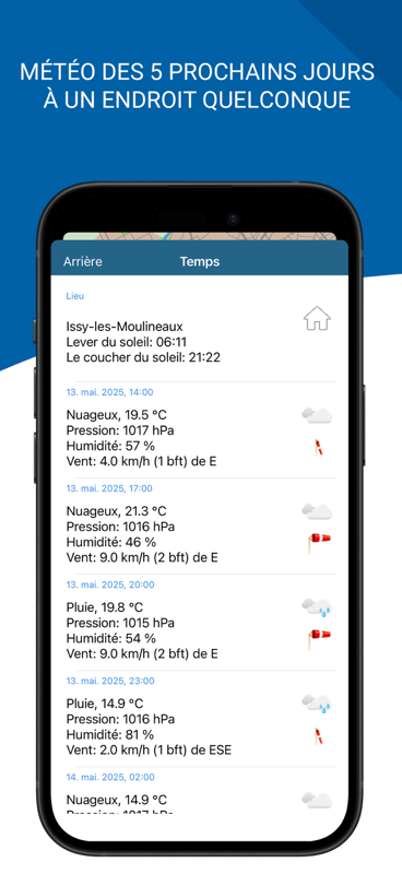
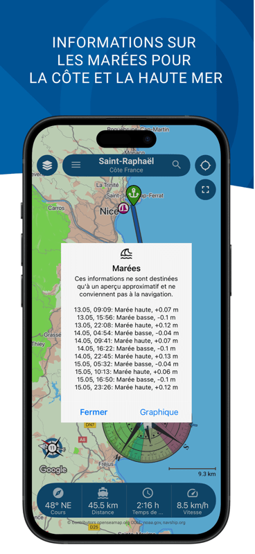
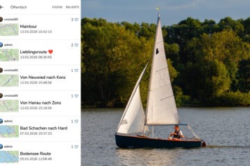
The route planner talent for all European and North American waterways

The app currently has more than 400,000 km* of waterways, including rivers, lakes and coastal areas. Germany, the Netherlands, France, Belgium and many other countries are fully developed. NavShip automatically ensures increased safety on the water by providing you with important warnings, lock information and AIS. You can find all important information in our video.

With just one click you can calculate a route from your current position to any waterway. Requirement: The waterway is connected to the waterway network. You can choose any starting point, add intermediate stops, receive route and lock information for your journey and can record the distance traveled. Bridge clearances are also included. With the free web version, you can use many functions of the app on your Mac, PC or laptop, regardless of the platform.


* last measured on February 27, 2024.

Current danger situation

The adjacent graphic currently shows all news for inland shipping in Germany, Austria and the Netherlands in the form of a heat map. An update takes place every hour. Clusters of NfR are shown in red.

Detailed information on all changes, closures, fairway and buoy relocations can be found in the NavShip app.

Open map or view list.

That's what the customers say

Your app convinced me! I only tested the free version! I will choose the paid option on my next boat tour to get even more information! I can only recommend 👍
Z.
via Apple App Store
Excellent boating and weather app.
Google User
via Google Play
Awesome app
Lynn Y.
via Google Play

NavShip Premium | All advantages

News

Always up to date. Read all articles