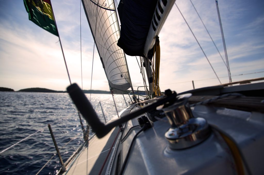
Close to the wind – with the sailing update from NavShip
Of course, NavShip does not replace nautical charts, if only because without water depths you should already have a proper knowledge of the area when you are sailing in tidal waters with a sailing boat. Nevertheless, we insist on integrating the maximum possible support into the app.
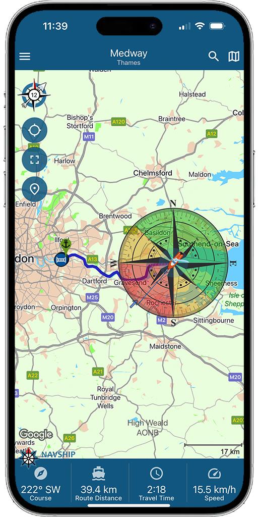
In the latest update you will therefore find the item “Sail area layer” in the app settings in the side menu. This can be displayed if you have activated the premium version, because we request wind and weather data and these are also assigned to our premium area.
If the wind direction was successfully queried from the server, it shows us the downwind to half-wind course in green and the upwind course in yellow on the switched-on layer. The non-sailable area then logically in red.
In a future update it will eventually be possible to include upwind tacking in the trip planning, which will then also affect the kilometer and travel time display.
For more info and questions, contact [email protected]. We also welcome feedback on this.


0 Comments