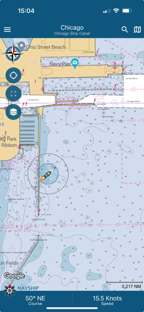
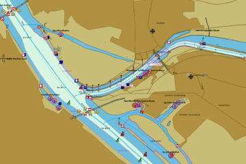
NOAA marks and depth data integration
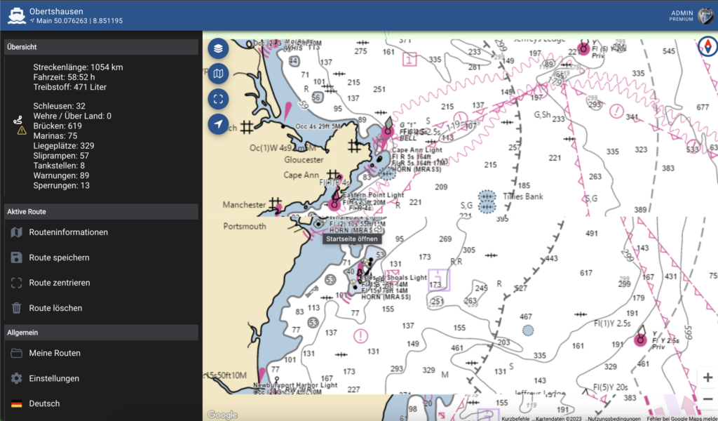

In the upcoming update of NavShip, NOAA data will be fully included on US coasts and partially Canada, Mexico and the Carribbean Sea.
Navigation is getting much safer and more precisely then.
The new overlay will be supported within the NavShip Android and iOS app for free and all customers. And it is already running at boatrouting.com.
We are working on a global solution, NOAA integration to offline maps and on inland waterways.

0 Comments