Marrekrite berths
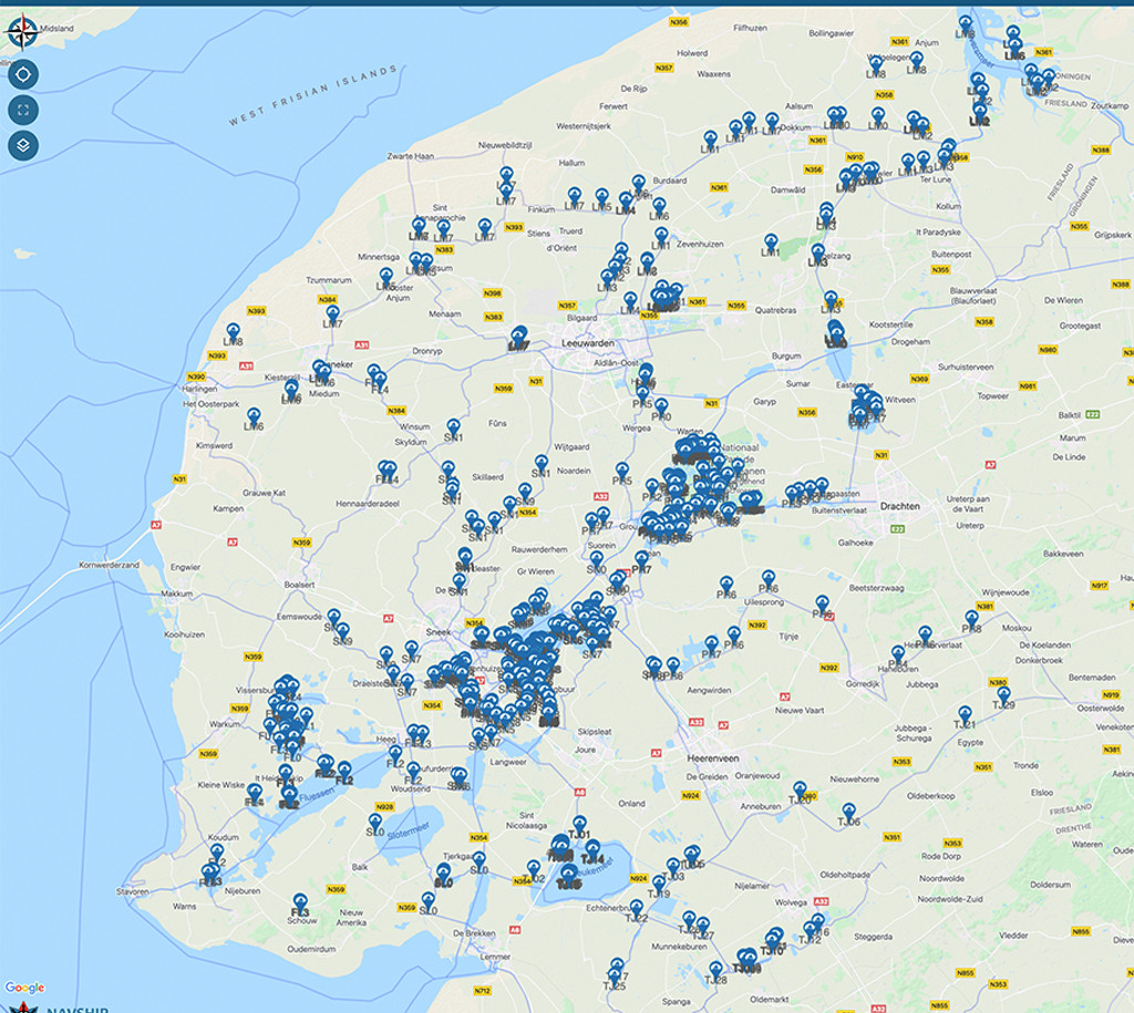
We have received a lot of inquiries lately whether we can integrate the “Marrekriten Ligplaatsen” in the Friesland region into our app. We contacted the Recreatieschap Marrekrite and received the dataset for all locations. With the latest NavShip update it will be possible to display these and to receive further information (e.g. what type of place it is and whether there is a shore connection, waste container or camping facility).
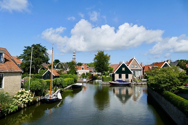
What are the Marrekriten berths anyway?
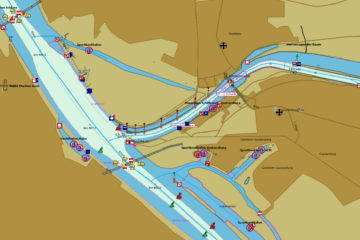
The blue signs can be found in many places in the Friesland region. They indicate a free berth. In addition to footbridges and sheet pile walls, buoys can also be designated. Our data set includes almost 700 positions with a total of well over 3000 berths. Special regulations apply there, so you can often only use them for one to three days free of charge.
How do I activate the view in my NavShip app?
You need NavShip Android 1.34.5 or NavShip iOS 1.17. These updates are expected during June 5, 2021. Select “Marrekrite” in the settings in the NavShip app. There should now be special blue markers with the logo of the Recreatieschap Marrekrite in the Friesland region.
This function is available free of charge to all NavShip users.


0 Comments