Support for ENC charts
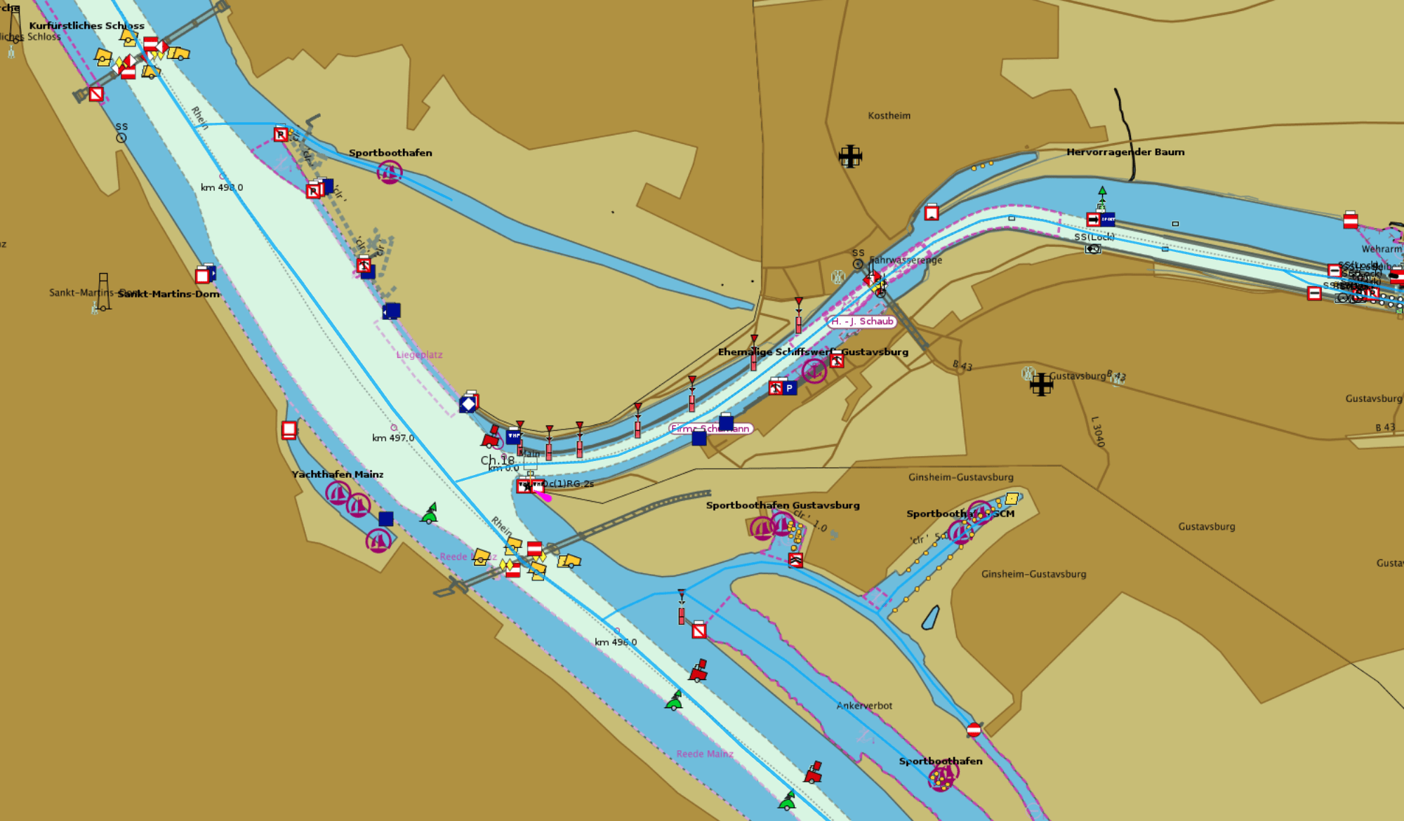
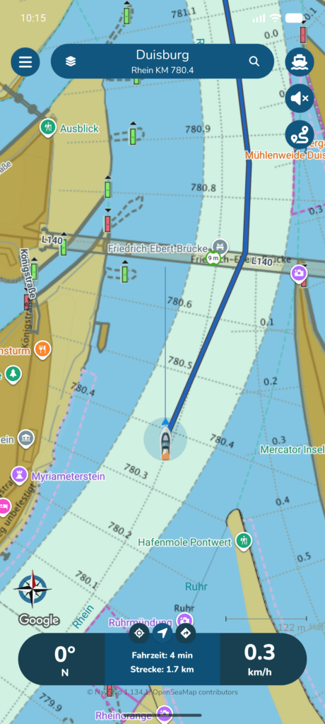
With the latest update for iOS and Android, NavShip now supports ENC charts issued by government agencies.
You probably prefer the classic NavShip route planner map. However, ENC charts contain a wealth of useful information about your surroundings, especially the navigable channel and precise kilometer markers, often from bank to bank in 100-meter increments.
These charts might not win any beauty contests, but that’s not the primary concern when it comes to safety.
The ENC charts are an additional feature of NavShip. Because they contain safety-relevant information, you can activate them free of charge in the basic version via the side menu under Settings.
The chart layer is available for the major German inland waterways (Rhine, Main, Moselle, Saar, Weser, Elbe, etc.) as well as the entire length of the Danube to the Black Sea and a section of the Sava River.


0 Comments